UAGeo Mapping the Future of the Emirates

UAGeo

Mapping the Future of the Emirates

Latest Articles

Borrowed Blueprints: Five GIS Layers American Cities Should Adapt from the Emirates
Business & Strategy

Borrowed Blueprints: Five GIS Layers American Cities Should Adapt from the Emirates

UAE smart cities have quietly pioneered map layers that most American municipalities have never built. From dust response modeling to district energy heat maps, here are five datasets worth stealing — and the budget realities of doing so.

Heat Is a Mapping Problem: Why Sun Belt Cities Should Treat Climate-Analog GIS as Core Infrastructure
Careers & Workforce

Heat Is a Mapping Problem: Why Sun Belt Cities Should Treat Climate-Analog GIS as Core Infrastructure

Phoenix, Las Vegas, and Austin are confronting heat, sprawl, and water stress that Abu Dhabi and Dubai have already spent decades mapping. It is time American planners stopped treating Gulf urban GIS as a curiosity and started treating it as a professional discipline worth importing.

Dockside Diplomacy: Inside the Quiet Pilot Programs Bringing Dubai's Port Software to Houston and Savannah
Technology & Innovation

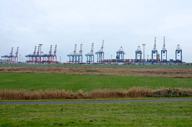
Dockside Diplomacy: Inside the Quiet Pilot Programs Bringing Dubai's Port Software to Houston and Savannah

American ports are under pressure to modernize container flows and berth scheduling, and Dubai's geospatial logistics stack has emerged as an unlikely reference point. This report examines what is being trialed on US docks, and why union halls remain skeptical.

The Adaptation Gap: What American Businesses Get Wrong When Deploying Gulf-Built Geospatial Platforms
Business & Strategy

The Adaptation Gap: What American Businesses Get Wrong When Deploying Gulf-Built Geospatial Platforms

Despite the sophistication of geospatial solutions developed in the UAE, American enterprises are encountering a persistent pattern of costly implementation failures when adopting these platforms. From infrastructure incompatibilities and data standard mismatches to subtler misalignments in how spatial information is interpreted and used, the path from Gulf innovation to US deployment is rarely straightforward.

Watching the Wilderness: How Satellite GIS Technology Is Exposing Illegal Resource Extraction Across Rural America
Technology & Innovation

Watching the Wilderness: How Satellite GIS Technology Is Exposing Illegal Resource Extraction Across Rural America

Advanced satellite imagery and GIS monitoring systems, including platforms with roots in UAE-developed remote sensing infrastructure, are being deployed across rural America to detect unauthorized mining operations, environmental violations, and resource theft on public and tribal lands. The technology is giving environmental advocates, federal agencies, and tribal nations a powerful new instrument for identifying and prosecuting environmental crimes that have long evaded detection in some of th

Algorithmic Patrol: How UAE-Developed Crime Forecasting Tools Are Entering American Police Precincts
Technology & Innovation

Algorithmic Patrol: How UAE-Developed Crime Forecasting Tools Are Entering American Police Precincts

Emirati geospatial and predictive analytics firms are quietly supplying American police departments with crime forecasting platforms built on advanced spatial modeling and machine learning. While the technology promises to allocate law enforcement resources more efficiently, critics and civil liberties advocates are raising pointed questions about algorithmic bias, transparency, and the civil rights implications of data-driven policing.

Coordinates at the Doorstep: How UAE Drone Corridor Technology Is Cracking America's Last-Mile Delivery Code
Technology & Innovation

Coordinates at the Doorstep: How UAE Drone Corridor Technology Is Cracking America's Last-Mile Delivery Code

Geospatial routing systems and drone airspace mapping developed across UAE smart cities are finding new life inside American logistics networks. As e-commerce pressure mounts, US courier services are turning to Gulf-origin GIS platforms to bring precision and cost efficiency to the industry's most stubborn bottleneck.

Fields Without Borders: The Quiet Rise of UAE Geospatial Expertise Inside American Farmland
Careers & Workforce

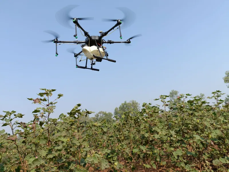
Fields Without Borders: The Quiet Rise of UAE Geospatial Expertise Inside American Farmland

A growing number of US agricultural operations are contracting UAE-based GIS specialists and satellite imagery providers to analyze crop health, soil conditions, and water use patterns. This understated knowledge transfer is producing measurable gains for American farmers while raising pointed questions about where the next generation of agtech expertise will be cultivated.

Drilling Down with Data: How AI-Powered Geospatial Intelligence from the Gulf Is Transforming American Mining
Business & Strategy

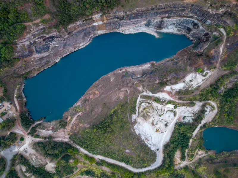
Drilling Down with Data: How AI-Powered Geospatial Intelligence from the Gulf Is Transforming American Mining

Advanced terrain analysis and AI-driven geospatial tools, many of them refined through UAE infrastructure and desert land management programs, are beginning to reshape how American mining companies locate and extract mineral resources. The economic and environmental stakes are substantial, and the technology is proving more adaptable than most in the industry anticipated.

Mapped but Not Owned: Rethinking Geospatial Privacy in an Age of Total Location Awareness
Business & Strategy

Mapped but Not Owned: Rethinking Geospatial Privacy in an Age of Total Location Awareness

The UAE's hyper-integrated geospatial infrastructure is among the most sophisticated and comprehensive on Earth — and it raises urgent questions that neither the region nor the United States has fully answered. As location data becomes the connective tissue of smart cities and digital economies, UAGeo examines whether meaningful privacy frameworks can be built into next-generation mapping platforms before it is too late.

Eyes Over the Equator: How UAE Satellite Networks Are Redefining Climate Intelligence Beyond the West
Technology & Innovation

Eyes Over the Equator: How UAE Satellite Networks Are Redefining Climate Intelligence Beyond the West

The UAE's expanding constellation of Earth observation satellites is quietly outmaneuvering Western aerospace giants in real-time climate monitoring across Africa and Asia. As homegrown geospatial platforms accumulate environmental data at unprecedented scale, questions arise about who will ultimately control the maps that govern our planet's future. UAGeo examines the technology, the geopolitics, and the stakes.

From the Gulf to the Grain Belt: A Field Guide to UAE Geospatial Tools Transforming American Agriculture
Business & Strategy

From the Gulf to the Grain Belt: A Field Guide to UAE Geospatial Tools Transforming American Agriculture

U.S. agribusinesses are increasingly turning to precision agriculture platforms developed by UAE geospatial firms — and the results are measurable. From real-time soil mapping in Nebraska to drone-integrated crop monitoring in California's Central Valley, Middle Eastern location intelligence is finding a surprisingly receptive market in America's heartland. Here is what farmers and agribusiness executives need to know.

Drawing the Invisible Boundaries: How Geofencing Is Transforming Retail and Delivery Across the Gulf
Business & Strategy

Drawing the Invisible Boundaries: How Geofencing Is Transforming Retail and Delivery Across the Gulf

American retailers and logistics operators expanding into UAE and GCC markets are discovering that precision geofencing is not a convenience feature — it is a competitive necessity. From last-mile delivery optimization in Dubai's layered urban landscape to hyper-targeted customer engagement in Abu Dhabi's luxury corridors, location-based services are redefining how US brands build presence in the region.

Orbit and Opportunity: How the UAE Is Rewriting the Rules of Global Geospatial Intelligence
Technology & Innovation

Orbit and Opportunity: How the UAE Is Rewriting the Rules of Global Geospatial Intelligence

The United Arab Emirates has quietly assembled one of the most sophisticated satellite and Earth observation ecosystems outside the traditional Western powers. American enterprises across supply chain, climate science, and infrastructure development are increasingly turning to Emirati geospatial data platforms as a credible alternative to legacy intelligence providers.

The Knowledge Migration: Why Abu Dhabi and Dubai Are Pulling GIS Talent Away from Silicon Valley
Careers & Workforce

The Knowledge Migration: Why Abu Dhabi and Dubai Are Pulling GIS Talent Away from Silicon Valley

The UAE's transition toward a knowledge-based economy has created an unexpected talent market for American geospatial professionals, with technology firms in Abu Dhabi and Dubai offering compensation packages and career trajectories that are difficult to replicate in domestic US markets. This talent exchange is not simply a story of economic incentive — it is reshaping how American technology companies think about Middle Eastern expansion and the role of local geospatial expertise in global stra

American Enterprises Are Tapping UAE Location Intelligence to Unlock the Gulf's $2 Trillion Economy
Business & Strategy

American Enterprises Are Tapping UAE Location Intelligence to Unlock the Gulf's $2 Trillion Economy

A growing cohort of US companies is deploying UAE-calibrated geospatial platforms to outmaneuver competitors across the Gulf Cooperation Council. From last-mile logistics optimization to precision retail site selection, location intelligence rooted in Emirati data ecosystems is quietly reshaping how American firms operate in one of the world's most dynamic commercial corridors.

Beneath the Surface: How Dubai's Geospatial Nervous System Powers the World's Most Ambitious Smart City
Technology & Innovation

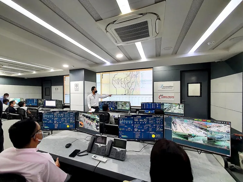
Beneath the Surface: How Dubai's Geospatial Nervous System Powers the World's Most Ambitious Smart City

Dubai's reputation as a global smart city showcase rests on a foundation that most visitors never see: an intricate, real-time geospatial architecture that coordinates everything from autonomous transit networks to predictive flood management. For American urban planners and technology professionals, the technical blueprint emerging from the Emirates offers a compelling—and occasionally humbling—reference model.

Six-Figure Salaries and Sky-High Demand: The Geospatial Careers Reshaping the UAE Job Market
Careers & Workforce

Six-Figure Salaries and Sky-High Demand: The Geospatial Careers Reshaping the UAE Job Market

The UAE's accelerating digital transformation has triggered an urgent demand for geospatial talent that far outpaces local supply, opening exceptional opportunities for American GIS professionals willing to relocate or work remotely. From urban digital twin engineers to location data scientists, these five roles are commanding salaries that rival—and frequently exceed—comparable positions in US tech hubs.