Borrowed Blueprints: Five GIS Layers American Cities Should Adapt from the Emirates
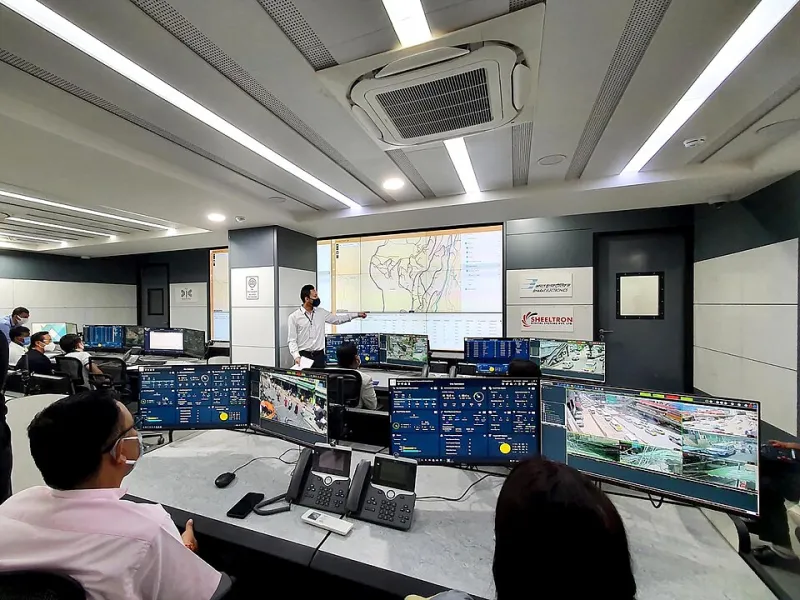
Photo: Khagendra13, CC BY-SA 4.0, via Wikimedia Commons
Municipal GIS managers in the United States tend to be a practical bunch. Ask them about the Emirates and the responses range from curiosity to mild suspicion — the sense that Dubai's map stack was purchased with petrodollars and bears little relevance to a city running on a $40 million annual budget.
But spend time examining what UAE smart cities actually built, layer by layer, and a different picture emerges: a set of geospatial datasets that are neither exotic nor unaffordable, merely unimagined on this side of the Atlantic.
Here are five worth a closer look.
1. Real-Time Dust and Sand Response Mapping
The UAE treats dust storms as operational events, not weather trivia. Real-time visibility layers feed directly into transit dispatch, school scheduling, and hospital readiness dashboards.
American analogues exist — Phoenix and Lubbock know dust storms intimately — but few US cities have wired particulate data into emergency dispatch the way Abu Dhabi has. For High Plains and Southwest municipalities, this is arguably the most transferable layer on the list, and NOAA satellite feeds make the raw data essentially free.
2. District-Level Energy Heat Maps
Dubai's utility mapping goes beyond parcel-level consumption. District cooling zones — where chilled water is produced centrally and distributed — are mapped alongside per-building demand, allowing planners to see thermal load before approving new construction.
American cities rarely visualize energy demand at the district scale. Yet for any municipality trying to prevent grid strain during heat waves, a demand heat map is a planning instrument of rare power. Several Texas utilities already hold the underlying data; it simply has never been assembled into a planning layer.
3. Pedestrian Thermal Comfort Corridors
Perhaps the most humane layer in the UAE catalog: maps of shaded walkways, measured surface temperatures, and modeled comfort along pedestrian routes. Dubai uses these to prioritize shade-sail placement and covered walkway investment.
For Sun Belt cities, this layer converts an abstract equity concern — who can safely walk in summer — into a mappable, budgetable capital project.
4. Groundwater and Subsidence Monitoring Layers
Decades of monitoring in the Gulf have produced integrated layers linking groundwater extraction to land subsidence, updated continuously. American cities with sinking basements of the metaphorical and literal kind — hello, Houston — have the sensor data but lack the integration.
5. Multilingual Address and Access Grids
The UAE's national addressing system assigns every building a coordinate-anchored identifier, designed for a population that speaks dozens of languages. American cities wrestling with inconsistent rural addressing and emergency response delays could adapt the model at modest cost.
What the Managers Say
Interviews with municipal GIS staff across three states surfaced consistent themes: the layers themselves are admired, the budgets are not. "We can build any of these," one midwestern GIS coordinator put it. "We can build about one per budget cycle."
Privacy concerns surfaced less often than expected — most of these layers aggregate environmental or infrastructure data rather than personal movement. The real obstacles are procurement timelines and the absence of a federal template for cross-departmental data sharing.
The Takeaway
None of these layers requires Gulf-scale spending. They require something rarer: a city government willing to treat the map as operational infrastructure rather than a cartographic afterthought. The Emirates built that habit under duress — harsh climate, rapid growth, no legacy systems to slow them down. American cities have legacy systems in abundance, but they also have the blueprints sitting there, ready to borrow.