Heat Is a Mapping Problem: Why Sun Belt Cities Should Treat Climate-Analog GIS as Core Infrastructure

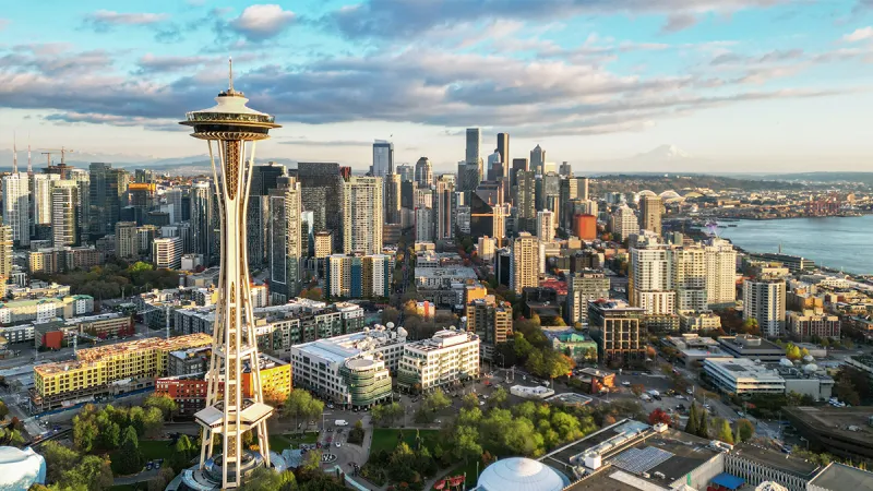
Photo: Ray Redstone, CC BY-SA 4.0, via Wikimedia Commons
There is a professional blind spot in American urban planning, and it becomes visible every July.
When Phoenix records its 30th consecutive day above 110 degrees, the response is predictable: emergency heat officers are appointed, cooling centers open, mortality statistics are tallied, and by October the urgency evaporates. The machinery of heat governance in American cities is reactive by design. It does not have to be.
Half a world away, cities that share Phoenix's climate profile — Abu Dhabi, Dubai, Riyadh's newer districts — have spent two decades building something American Sun Belt cities lack: a permanent, geospatially grounded discipline of surviving extreme heat. Not a summer program. An operating system.
What the Gulf Actually Mapped
Strip away the skyline photography and the Gulf cities' real innovation is cartographic. They mapped shade coverage along every significant pedestrian route. They modeled surface temperature differentials block by block and tied them to land-use decisions. They built district cooling into the planning code, mapped its distribution grids, and made thermal load a precondition of development approval. They track groundwater, subsidence, and dust exposure as continuously updated layers, not annual reports.
None of this required technology that Phoenix cannot buy. It required a decision, made years ago, that heat was a permanent condition to be engineered around rather than an emergency to be survived.
The Workforce Gap Nobody Is Counting
Here is where the conversation turns to people, because maps do not build themselves.
The Gulf's climate GIS capacity exists because those cities staffed for it — heat modelers, thermal comfort analysts, urban climatologists embedded in planning departments. American cities, by contrast, typically employ GIS generalists expected to serve every department from permitting to parks. The skill of translating a land surface temperature raster into a shade-sail capital request is genuinely rare in a US municipal workforce.
This is a hiring problem, and a solvable one. Cities like Austin and Las Vegas are within commuting distance of university programs producing exactly this talent. What they lack are job classifications that recognize climate-mapping expertise as a specialty worth a salary premium. The UAE figured this out early; its geospatial sector now competes globally for analysts precisely because the roles were defined and paid accordingly.
An Argument for Analog Diplomacy
Critics will object that Gulf cities were built with authoritarian speed and sovereign wealth, and there is truth in that. But the objection confuses the financing with the method. The method — map thermal conditions, publish the layers, embed them in permitting and capital budgeting — is transferable to any government willing to adopt it.
There is also a workforce argument for engagement. American planners and GIS analysts who work with Gulf-built climate tooling come back with skills their peers lack. Twinning arrangements between Sun Belt and Gulf municipalities — data-sharing MOUs, analyst exchanges, joint pilot projects — would build domestic capacity faster than any procurement cycle.
Treat It Like Infrastructure
Water systems, roads, and grids are treated as infrastructure because they are permanent, funded through capital budgets, and staffed continuously. Urban heat mapping deserves the same status. Phoenix's Office of Heat Response was a start, but an office without a map stack is a press release.
The Gulf cities proved that 120-degree urbanism can be mapped, modeled, and managed. American Sun Belt cities face the same climate with better data availability, stronger universities, and — eventually, one hopes — the political will to hire the people who can use both.
The heat is not going anywhere. The question is whether the workforce that maps it will be American, Gulf-trained, or — ideally — both.