Dockside Diplomacy: Inside the Quiet Pilot Programs Bringing Dubai's Port Software to Houston and Savannah
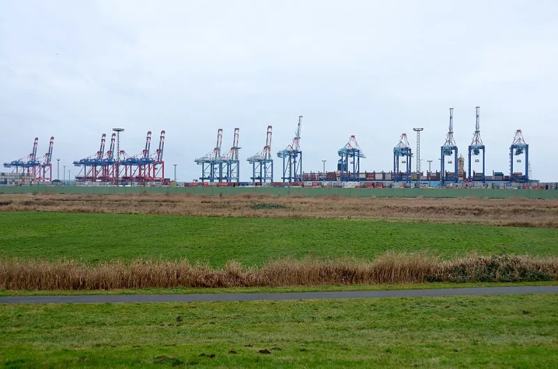
Photo: Olga Ernst, CC BY-SA 4.0, via Wikimedia Commons
The Port of Houston moves more tonnage than any other gateway on the Gulf Coast, yet portions of its berth management still depend on radio chatter and spreadsheets that would be recognizable to a stevedore in 1995. Across the country, the Port of Savannah — now the third-busiest container terminal in the Western Hemisphere — faces similar strain as vessel sizes and volumes outpace legacy systems.
Into this gap has stepped an unexpected source of inspiration: Dubai.
The Dubai Template
Dubai's port ecosystem, anchored by Jebel Ali, has spent two decades building geospatial systems that fuse real-time vessel positioning, yard-level container telemetry, and predictive berth allocation into a single operational picture. The emirate's terminals treat location data as the connective tissue of logistics — every crane, truck, and box carries a coordinate history that can be queried, modeled, and forecast.
The results are measurable. Berth dwell times at highly digitized Gulf terminals routinely undercut global averages, and yard congestion events — the kind that cascade into trucker delays and demurrage disputes — are flagged algorithmically hours before they materialize.
For American port authorities staring at federal infrastructure grants and impatient shippers, that record is difficult to ignore.
What Is Actually Being Piloted
According to port technology vendors and officials familiar with ongoing evaluations, three categories of Gulf-built geospatial tooling are drawing American interest.
The first is dynamic berth scheduling — software that ingests AIS vessel tracks, tidal data, and crane availability to resequence ship arrivals in near real time. Houston-area operators have reportedly evaluated systems of this kind as part of broader channel modernization tied to the widening of the ship channel.
The second is container-level geofencing, which assigns every unit a digital boundary and triggers alerts when cargo deviates from planned routes through the yard. Savannah's enormous garden-terminal footprint makes this kind of spatial accounting especially attractive, where a misplaced container can cost hours of reefer-fueled anxiety.
The third is predictive yard congestion modeling, a discipline in which Dubai's operators have invested heavily, using historical flow data to forecast chokepoints by shift and season.
None of these pilots constitute full deployments. Port officials are characteristically cautious, describing them as evaluations, proofs of concept, or vendor demonstrations. But the direction of travel is unmistakable.
The Friction Beneath the Cranes
Technology, however, is the easy part.
Dubai's terminals operate under labor conditions that bear little resemblance to an American dockyard. The ILA and ILWU exercise hard-won authority over job classifications, staffing ratios, and automation timelines — and Gulf-built platforms that optimize labor deployment can read, in a union hall, like a surveillance and headcount-reduction tool dressed in mapping software's clothing.
Labor economists who study port automation note that the most successful American deployments are those framed as decision-support rather than dispatch-replacement. A berth scheduler that recommends sequences, with humans retaining override authority, lands very differently than one that assigns tasks directly.
There is also a data-governance question. Gulf logistics platforms were built in jurisdictions where operational data flows to a central authority without much negotiation. American ports answer to state legislatures, federal maritime agencies, and in some cases bondholders — each with opinions about where container telemetry lives and who may see it.
A Pragmatic Path Forward
The likeliest outcome is not wholesale adoption but selective transplantation: American ports borrowing the geospatial architecture — the layering of real-time location data under operational decisions — while sourcing or building components domestically and negotiating labor terms openly.
That would echo a familiar pattern. American railroads adopted dispatching concepts from abroad while keeping governance local. Ports, perhaps, are simply next.
What Houston and Savannah learn from these pilots will shape more than their own terminals. With federal port infrastructure money flowing and vessel volumes still climbing, the harbor may become the proving ground where Gulf-built geospatial expertise either earns its American foothold or waits at anchor.